
News Desk · Everything Space
India launches GSLV rocket carrying its first geosynchronous Earth-imaging satellite
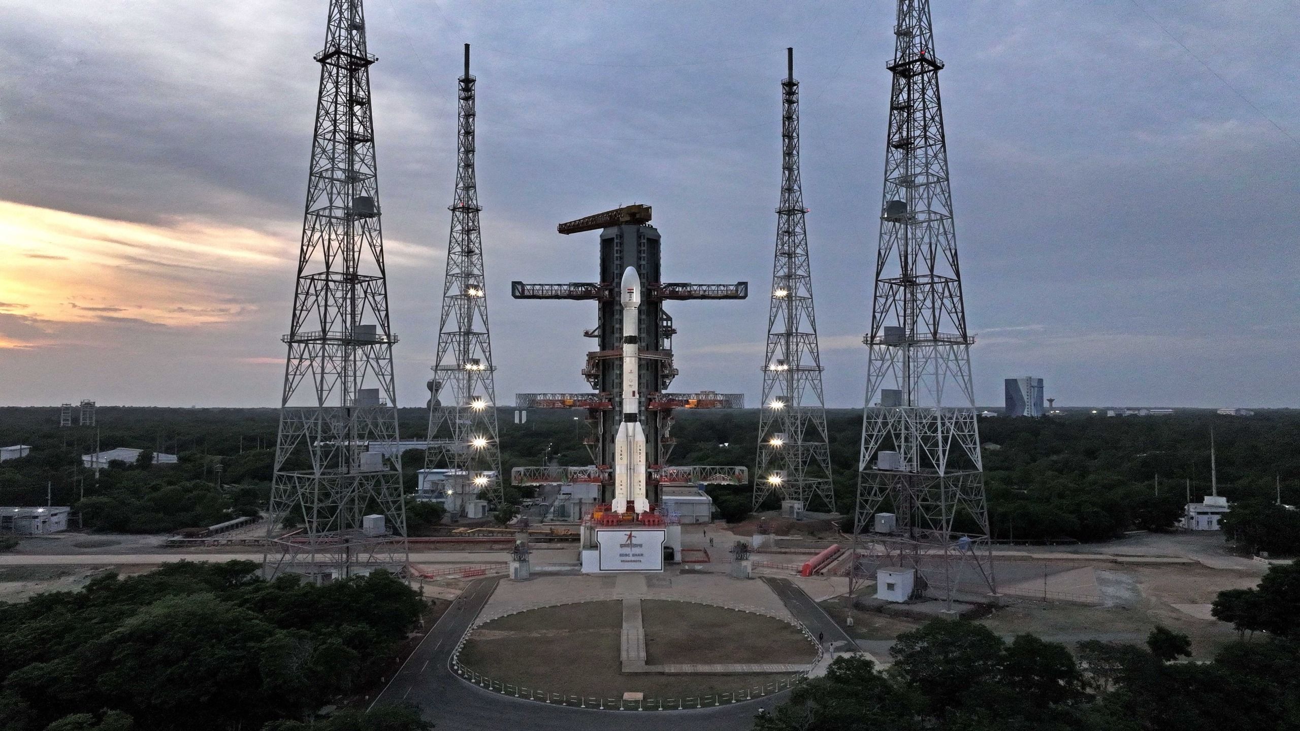
Image: Space.com
The mission aims to give India persistent orbital surveillance of its territory after a similar 2021 attempt failed.
India's space agency launched a GSLV Mark II rocket carrying the EOS-05 satellite, aiming to place an Earth-imaging spacecraft in geosynchronous orbit for the first time.
The GSLV Mark II is a three-stage rocket that has flown a dozen times since its 2010 debut, with ten successful missions. EOS-05, weighing about 5,218 pounds, is designed to observe Earth from a high, stable vantage point roughly 22,236 miles above the planet.
At geosynchronous orbit, a satellite's speed matches Earth's rotation, allowing it to remain fixed over one region. This makes the orbit useful for continuous monitoring, and EOS-05 is intended to support surveillance of the Indian subcontinent, including border regions, weather patterns, and environmental changes, for both civilian and military purposes.
India previously attempted to reach this orbit with an Earth-observing satellite in 2021, when a GSLV Mark II carrying the EOS-03 satellite suffered a third-stage anomaly and lost the payload.
Since that failure, the GSLV Mark II has recovered, completing four consecutive successful launches leading up to this mission.
This launch marks India's third orbital mission of the year, following a failed satellite delivery by the Polar Satellite Launch Vehicle in January and a successful private orbital launch by Skyroot Aerospace in July.
Sources
Watch India launch its 1st geosynchronous Earth-imaging satellite today
Written in Everything Space’s own words by our news-desk model from the sources above, and checked against them in code: every number in this report appears in its sources, and no sentence is copied from them.